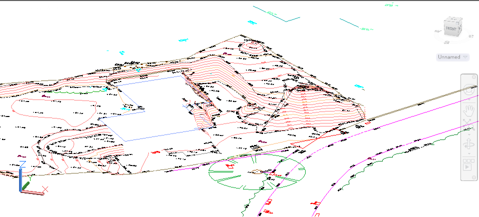
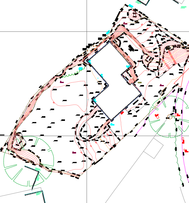
Topographic survey
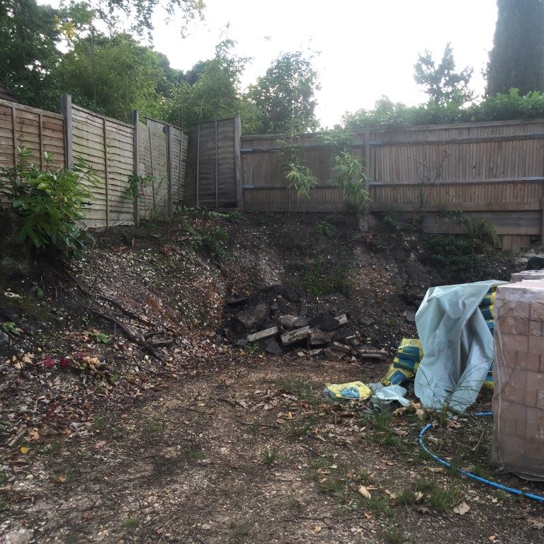
When the survey has started, the site was in demolition state. We have been asked to provide a topographic survey to show the boundary of the plot and the change in level. We did create a DTM, showing the contours on the plan to be easier to read the plan. Where the excavation hast started, the contours line show the depth of the excavation, being able to calculate the volume of the excavated ground, create sections or cut and fill. These calculated result can help you to manage the project in an effective way. In the first image the topographic plan is seen from front perspective, showing where the excavation has taken place. In the second image we see the plan from above, with boundary lines, features, building outline of the existing house, level and contours from which we have created the DTM.
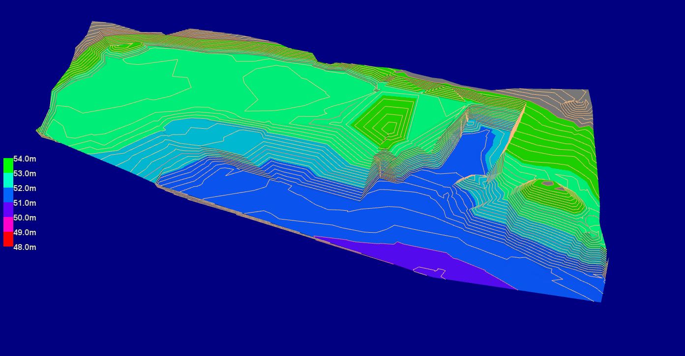
3D view of the plot
In the third image we have a 3D view of the plot. After creating the contours to show the change in levels of the plot, to give a better visualization of the plot we did shade the topographic plan and show in 3D view.